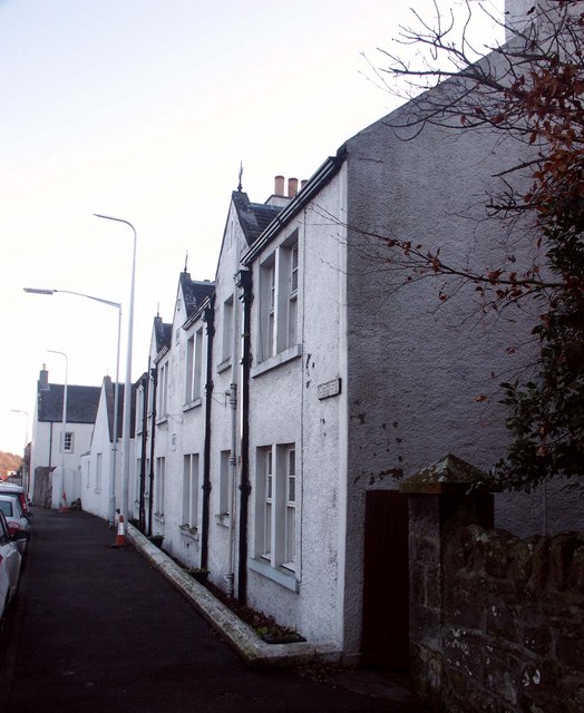
Countess of Morays - former hospital - Aberdour
Introduction
The photograph on this page of Countess of Morays - former hospital - Aberdour by Simon Johnston as part of the Geograph project.
The Geograph project started in 2005 with the aim of publishing, organising and preserving representative images for every square kilometre of Great Britain, Ireland and the Isle of Man.
There are currently over 7.5m images from over 14,400 individuals and you can help contribute to the project by visiting https://www.geograph.org.uk

Image: © Simon Johnston Taken: 6 Dec 2008
Converted to residential in 1962, these buildings http://www.geograph.org.uk/photo/1098835 though rebuilt and extended originally served as a hospital founded by Anne, Countess of (? the third Earl of) Moray. -- Anne endowed it for four aged widows, of whom three were appointed by the family, and one by the clerk of the signet; each of the widows has a separate apartment, with an allowance of coal and candles, and £5 per annum in money. From: 'Aberdour - Anderston', A Topographical Dictionary of Scotland (1846), pp. 23-45. URL: http://www.british-history.ac.uk/report.aspx?compid=43416 Date accessed: 31 December 2008. ### Grateful for some help here as there appears to be some conflicting info: http://en.wikipedia.org/wiki/Elizabeth_Stuart,_2nd_Countess_of_Moray gives Elizabeth as 2nd Countess of Moray. ....and a hospital for 4 widows, founded by Anne, countess of the ### second?? ### Earl of Moray. http://www.geo.ed.ac.uk/scotgaz/parishes/parhistory687.html http://www.geo.ed.ac.uk/scotgaz/towns/townhistory2.html

