Mill Road Hibaldstow
Introduction
The photograph on this page of Mill Road Hibaldstow by David Squire as part of the Geograph project.
The Geograph project started in 2005 with the aim of publishing, organising and preserving representative images for every square kilometre of Great Britain, Ireland and the Isle of Man.

There are currently over 7.5m images from over 14,400 individuals and you can help contribute to the project by visiting https://www.geograph.org.uk
Mill Road Hibaldstow
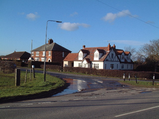
Image: © David Squire Taken: 20 Jan 2006
Houses at the eastern end of Mill Road where it forms a junction with the road from Hibaldstow to Redbourne.
Images are licensed for reuse under creativecommons.org/licenses/by-sa/2.0
Image Location
Latitude
53.504744
Longitude
-0.529926