Union Street - Yeovil
Introduction
The photograph on this page of Union Street - Yeovil by Sarah Smith as part of the Geograph project.
The Geograph project started in 2005 with the aim of publishing, organising and preserving representative images for every square kilometre of Great Britain, Ireland and the Isle of Man.

There are currently over 7.5m images from over 14,400 individuals and you can help contribute to the project by visiting https://www.geograph.org.uk
Union Street - Yeovil
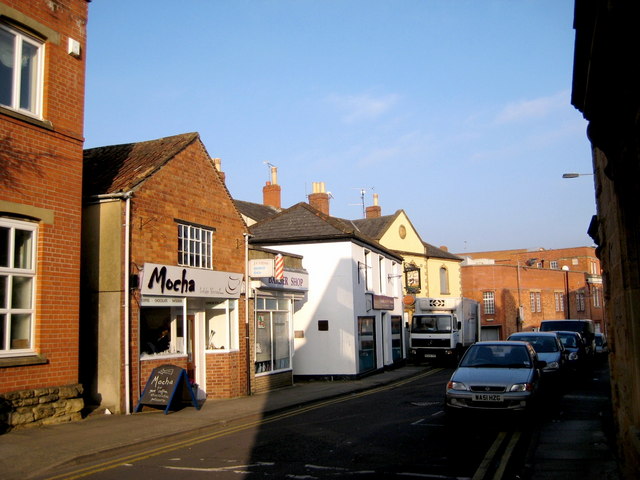
Image: © Sarah Smith Taken: 30 Dec 2008
The large brick building at the end on the right is the rear of W H Smith. Next is the empty Wine Vaults public house on the corner of Vine Street. The rest are independent businesses - note the barber's pole outside its shop.
Images are licensed for reuse under creativecommons.org/licenses/by-sa/2.0
Image Location
Latitude
50.940833
Longitude
-2.631313