2008 : South east from Pringle Lane railway bridge
Introduction
The photograph on this page of 2008 : South east from Pringle Lane railway bridge by Maurice Pullin as part of the Geograph project.
The Geograph project started in 2005 with the aim of publishing, organising and preserving representative images for every square kilometre of Great Britain, Ireland and the Isle of Man.

There are currently over 7.5m images from over 14,400 individuals and you can help contribute to the project by visiting https://www.geograph.org.uk
2008 : South east from Pringle Lane railway bridge
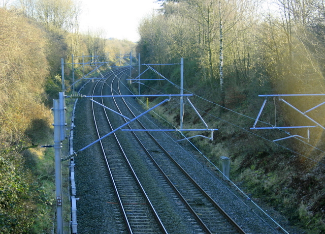
Image: © Maurice Pullin Taken: 26 Dec 2008
The former L.M.S. line from Stoke on Trent heading toward Stafford having passed through Stone.
Images are licensed for reuse under creativecommons.org/licenses/by-sa/2.0
Image Location
Latitude
52.898328
Longitude
-2.13345