Blacksmiths Arms
Introduction
The photograph on this page of Blacksmiths Arms by Simon Carey as part of the Geograph project.
The Geograph project started in 2005 with the aim of publishing, organising and preserving representative images for every square kilometre of Great Britain, Ireland and the Isle of Man.

There are currently over 7.5m images from over 14,400 individuals and you can help contribute to the project by visiting https://www.geograph.org.uk
Blacksmiths Arms
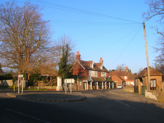
Image: © Simon Carey Taken: 29 Dec 2008
Taken from The Drove as it reaches the junction with Offham Road, the A275. Difficult to actually say which square the pub is in as the grid line crosses somewhere on the far side of the road and through part of the facade. Much of the foreground is in this square though.
Images are licensed for reuse under creativecommons.org/licenses/by-sa/2.0
Image Location
Latitude
50.891782
Longitude
-0.010666