The pathway to St Mary's Church, Huntington Lane, Hereford
Introduction
The photograph on this page of The pathway to St Mary's Church, Huntington Lane, Hereford by Ruth Harris as part of the Geograph project.
The Geograph project started in 2005 with the aim of publishing, organising and preserving representative images for every square kilometre of Great Britain, Ireland and the Isle of Man.

There are currently over 7.5m images from over 14,400 individuals and you can help contribute to the project by visiting https://www.geograph.org.uk
The pathway to St Mary's Church, Huntington Lane, Hereford
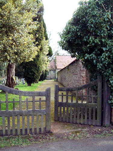
Image: © Ruth Harris Taken: 23 Feb 2003
The church isn't easy to see from the road, this is the very pleasant path leading down to it.
Images are licensed for reuse under creativecommons.org/licenses/by-sa/2.0
Image Location


Leaflet Map data © OpenStreetMap
Latitude
52.069462
Longitude
-2.752736