Ridlands Lane, Crockham Hill, Kent
Introduction
The photograph on this page of Ridlands Lane, Crockham Hill, Kent by Oast House Archive as part of the Geograph project.
The Geograph project started in 2005 with the aim of publishing, organising and preserving representative images for every square kilometre of Great Britain, Ireland and the Isle of Man.

There are currently over 7.5m images from over 14,400 individuals and you can help contribute to the project by visiting https://www.geograph.org.uk
Ridlands Lane, Crockham Hill, Kent
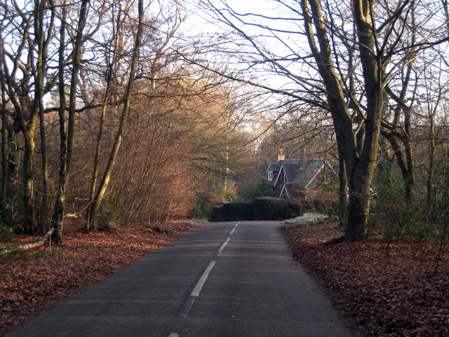
Image: © Oast House Archive Taken: 29 Dec 2008
The road connects Westerham Road (A25) and Kent Hatch Road (B269), through The High Chart woodland.
Images are licensed for reuse under creativecommons.org/licenses/by-sa/2.0
Image Location
Latitude
51.251681
Longitude
0.04223