2008 : Looking down Cock Lane
Introduction
The photograph on this page of 2008 : Looking down Cock Lane by Maurice Pullin as part of the Geograph project.
The Geograph project started in 2005 with the aim of publishing, organising and preserving representative images for every square kilometre of Great Britain, Ireland and the Isle of Man.

There are currently over 7.5m images from over 14,400 individuals and you can help contribute to the project by visiting https://www.geograph.org.uk
2008 : Looking down Cock Lane
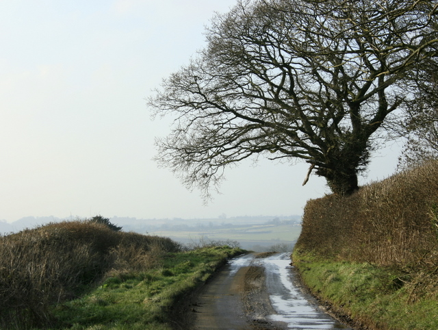
Image: © Maurice Pullin Taken: 29 Dec 2008
As it nears Talbot Farm having dropped down the western escarpment of the Cotswolds.
Images are licensed for reuse under creativecommons.org/licenses/by-sa/2.0
Image Location
Latitude
51.4844
Longitude
-2.381729