Green pasture
Introduction
The photograph on this page of Green pasture by Bob Embleton as part of the Geograph project.
The Geograph project started in 2005 with the aim of publishing, organising and preserving representative images for every square kilometre of Great Britain, Ireland and the Isle of Man.

There are currently over 7.5m images from over 14,400 individuals and you can help contribute to the project by visiting https://www.geograph.org.uk
Green pasture
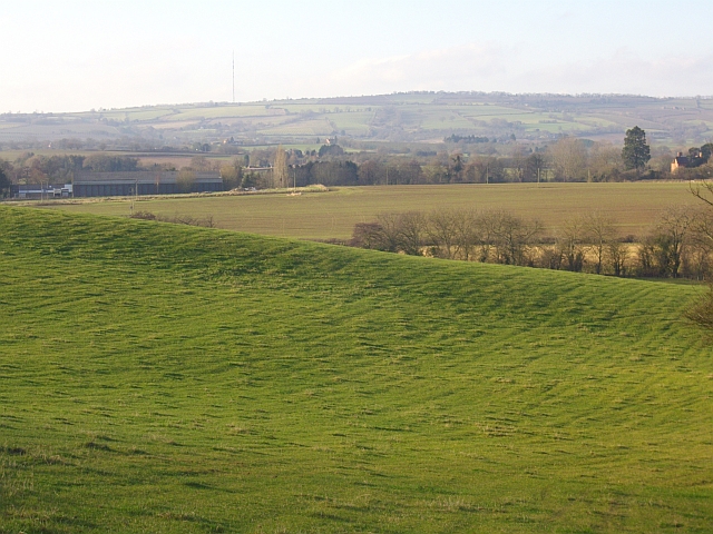
Image: © Bob Embleton Taken: 26 Dec 2008
On the Poet's Path heading towards the Ludstock Brook. The farm buildings of Preston Court can be seen on the left. In the distance is the Marcle Ridge bearing the Ridge Hill transmitter.
Images are licensed for reuse under creativecommons.org/licenses/by-sa/2.0
Image Location
Latitude
52.011635
Longitude
-2.45876