2008 : Railway south of Stafford station
Introduction
The photograph on this page of 2008 : Railway south of Stafford station by Maurice Pullin as part of the Geograph project.
The Geograph project started in 2005 with the aim of publishing, organising and preserving representative images for every square kilometre of Great Britain, Ireland and the Isle of Man.

There are currently over 7.5m images from over 14,400 individuals and you can help contribute to the project by visiting https://www.geograph.org.uk
2008 : Railway south of Stafford station
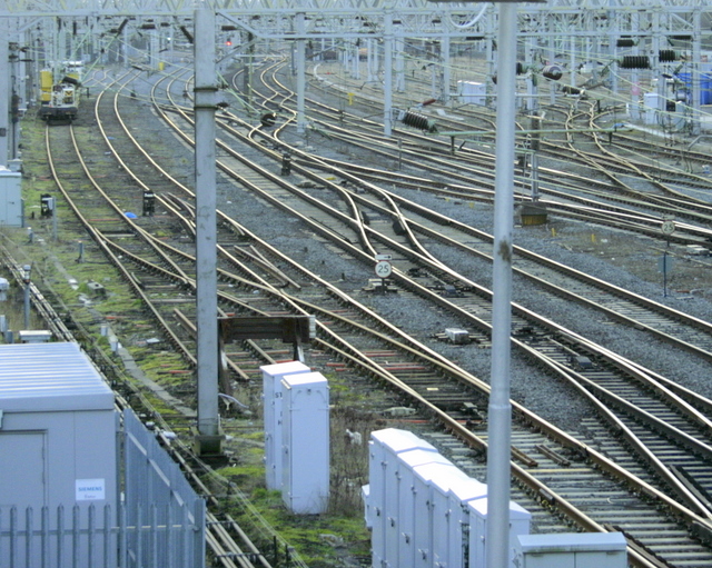
Image: © Maurice Pullin Taken: 26 Dec 2008
In 1867 a local company built the Stafford and Uttoxeter Railway which was later incorporated into the Great Northern Railway which in turn became part of the L.M.S. Seen here from Newport Road.
Images are licensed for reuse under creativecommons.org/licenses/by-sa/2.0
Image Location


Leaflet Map data © OpenStreetMap
Latitude
52.801886
Longitude
-2.12025