Road becomes bridleway
Introduction
The photograph on this page of Road becomes bridleway by Nigel Davies as part of the Geograph project.
The Geograph project started in 2005 with the aim of publishing, organising and preserving representative images for every square kilometre of Great Britain, Ireland and the Isle of Man.

There are currently over 7.5m images from over 14,400 individuals and you can help contribute to the project by visiting https://www.geograph.org.uk
Road becomes bridleway
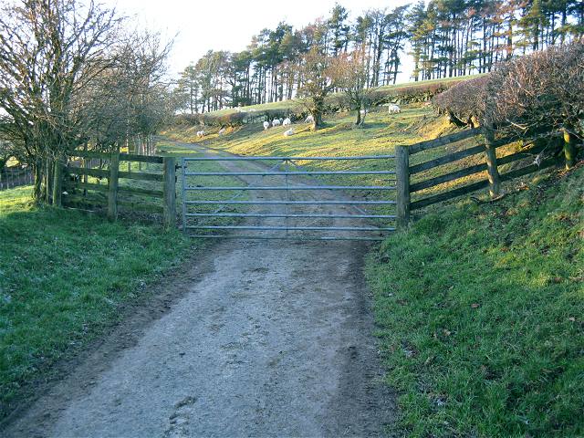
Image: © Nigel Davies Taken: 27 Dec 2008
The good tarmac ends just yards beyond the gate. Although the sign said "Unsuitable for motors" the lane beyonnd looks no worse than Image which bears no warning at all. Perhaps it gets worse later on.
Images are licensed for reuse under creativecommons.org/licenses/by-sa/2.0
Image Location
Latitude
51.922012
Longitude
-3.803816