Castle Street, Winchelsea
Introduction
The photograph on this page of Castle Street, Winchelsea by Kevin Gordon as part of the Geograph project.
The Geograph project started in 2005 with the aim of publishing, organising and preserving representative images for every square kilometre of Great Britain, Ireland and the Isle of Man.

There are currently over 7.5m images from over 14,400 individuals and you can help contribute to the project by visiting https://www.geograph.org.uk
Castle Street, Winchelsea
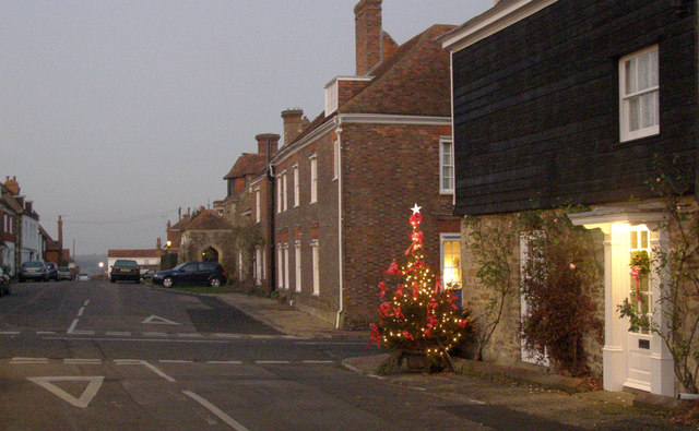
Image: © Kevin Gordon Taken: 27 Dec 2008
The street plan of Winchelsea follows a Roman plan with wide streets and square blocks of houses. This is castle street taken from St Thomas's Street to the east of the church.
Images are licensed for reuse under creativecommons.org/licenses/by-sa/2.0
Image Location
Latitude
50.924769
Longitude
0.709653