Ploughed field near the Preston Brook
Introduction
The photograph on this page of Ploughed field near the Preston Brook by Bob Embleton as part of the Geograph project.
The Geograph project started in 2005 with the aim of publishing, organising and preserving representative images for every square kilometre of Great Britain, Ireland and the Isle of Man.

There are currently over 7.5m images from over 14,400 individuals and you can help contribute to the project by visiting https://www.geograph.org.uk
Ploughed field near the Preston Brook
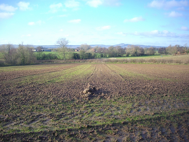
Image: © Bob Embleton Taken: 26 Dec 2008
Looking down from the Poet's Path. The brook follows the line of trees. A small stream (marked on some large scale maps as a "drain") follows the hedge from the right to join the brook.
Images are licensed for reuse under creativecommons.org/licenses/by-sa/2.0
Image Location
Latitude
52.001017
Longitude
-2.460982