Church Path (the eastern end)
Introduction
The photograph on this page of Church Path (the eastern end) by Michael Flegg as part of the Geograph project.
The Geograph project started in 2005 with the aim of publishing, organising and preserving representative images for every square kilometre of Great Britain, Ireland and the Isle of Man.

There are currently over 7.5m images from over 14,400 individuals and you can help contribute to the project by visiting https://www.geograph.org.uk
Church Path (the eastern end)
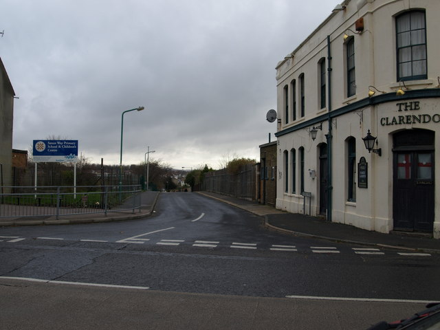
Image: © Michael Flegg Taken: 27 Nov 2008
There are no longer any houses but the Clarendon public house remains on the corner and on the south side of the road is a new school.
Images are licensed for reuse under creativecommons.org/licenses/by-sa/2.0
Image Location
Latitude
51.390745
Longitude
0.558133