Church car park & Worcestershire Way
Introduction
The photograph on this page of Church car park & Worcestershire Way by P L Chadwick as part of the Geograph project.
The Geograph project started in 2005 with the aim of publishing, organising and preserving representative images for every square kilometre of Great Britain, Ireland and the Isle of Man.

There are currently over 7.5m images from over 14,400 individuals and you can help contribute to the project by visiting https://www.geograph.org.uk
Church car park & Worcestershire Way
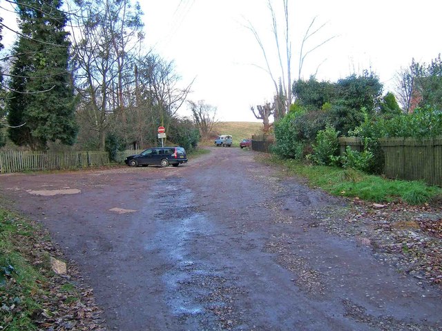
Image: © P L Chadwick Taken: 27 Dec 2008
The car on the left is parked in the area used by visitors to the nearby church. Ahead is the Worcestershire Way which has come from the churchyard (to the left of the photograph). Rather surprisingly this national trail actually passes through the churchyard.
Images are licensed for reuse under creativecommons.org/licenses/by-sa/2.0
Image Location


Leaflet Map data © OpenStreetMap
Latitude
52.363904
Longitude
-2.314666