Lea Road, Penn Fields, Wolverhampton
Introduction
The photograph on this page of Lea Road, Penn Fields, Wolverhampton by Roger D Kidd as part of the Geograph project.
The Geograph project started in 2005 with the aim of publishing, organising and preserving representative images for every square kilometre of Great Britain, Ireland and the Isle of Man.

There are currently over 7.5m images from over 14,400 individuals and you can help contribute to the project by visiting https://www.geograph.org.uk
Lea Road, Penn Fields, Wolverhampton
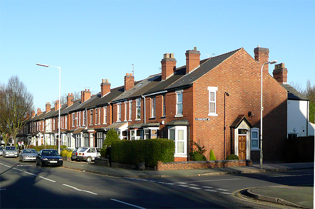
Image: © Roger D Kidd Taken: 26 Dec 2008
This is at the junction with Lyndhurst Road. Much of the housing in Lea Road and locally to the north-west was built early in the 20th century, with many semi-detached villas and terraced houses for the better off lower middle classes of the time. Several corner shops remain and are still privately operated by a multi-ethnic cross section of residents typical of the area today.
Images are licensed for reuse under creativecommons.org/licenses/by-sa/2.0
Image Location
Latitude
52.572892
Longitude
-2.144558