Fields north of Erwbarfe Farm
Introduction
The photograph on this page of Fields north of Erwbarfe Farm by Nigel Brown as part of the Geograph project.
The Geograph project started in 2005 with the aim of publishing, organising and preserving representative images for every square kilometre of Great Britain, Ireland and the Isle of Man.

There are currently over 7.5m images from over 14,400 individuals and you can help contribute to the project by visiting https://www.geograph.org.uk
Fields north of Erwbarfe Farm
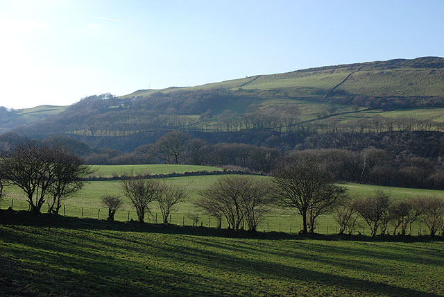
Image: © Nigel Brown Taken: 27 Dec 2008
Reasonable flat grazing land, bounded on the west by the Rheidol gorge, which lies down amongst the trees which stretch across the middle of the picture.
Images are licensed for reuse under creativecommons.org/licenses/by-sa/2.0
Image Location


Leaflet Map data © OpenStreetMap
Latitude
52.391167
Longitude
-3.840378