Beckminster Methodist Church, Penn Fields, Wolverhampton
Introduction
The photograph on this page of Beckminster Methodist Church, Penn Fields, Wolverhampton by Roger D Kidd as part of the Geograph project.
The Geograph project started in 2005 with the aim of publishing, organising and preserving representative images for every square kilometre of Great Britain, Ireland and the Isle of Man.

There are currently over 7.5m images from over 14,400 individuals and you can help contribute to the project by visiting https://www.geograph.org.uk
Beckminster Methodist Church, Penn Fields, Wolverhampton
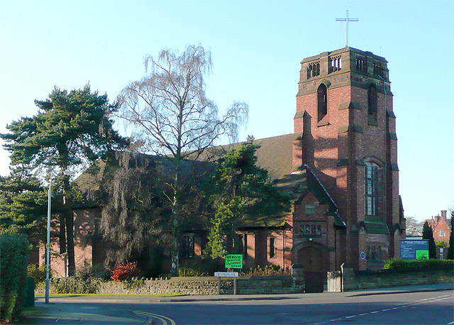
Image: © Roger D Kidd Taken: 26 Dec 2008
The church was built in 1926, and has been a "locally listed building" since 2001. See also http://www.localhistory.scit.wlv.ac.uk/listed/localist/beckmeth.htm .
Images are licensed for reuse under creativecommons.org/licenses/by-sa/2.0
Image Location
Latitude
52.571899
Longitude
-2.147948