Castellated folly
Introduction
The photograph on this page of Castellated folly by James Allan as part of the Geograph project.
The Geograph project started in 2005 with the aim of publishing, organising and preserving representative images for every square kilometre of Great Britain, Ireland and the Isle of Man.

There are currently over 7.5m images from over 14,400 individuals and you can help contribute to the project by visiting https://www.geograph.org.uk
Castellated folly
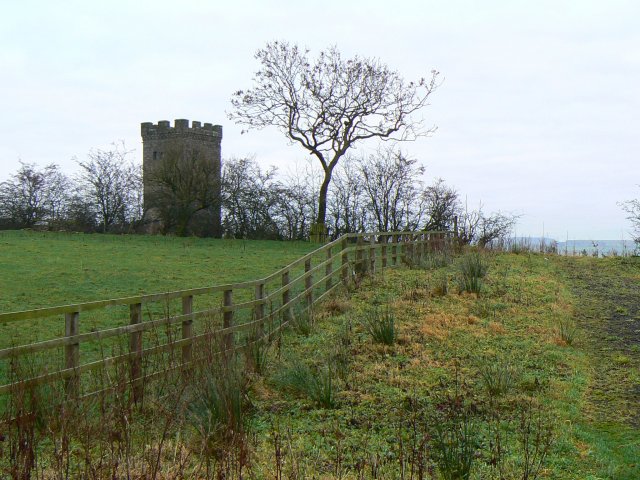
Image: © James Allan Taken: 25 Dec 2008
Described on a nameplate as 'The Tower of the Place of Caldwell' this structure is usually referred to locally as 'the Caldwell Folly'. It stands on the site of the mediaeval manor of Caldwell which was probably built in the mid-fifteenth century. This manor became ruinous although parts of the tower are said to have survived. What we see today is probably a roughly 100 year-old rebuild which may have used some of the original materials. This purposeless tower dates only from when Caldwell estate was being restored and the local term of 'Caldwell Folly' seems to be a very appropriate name for it.
Images are licensed for reuse under creativecommons.org/licenses/by-sa/2.0
Image Location
Latitude
55.763802
Longitude
-4.516306