Cae uwchben Ystrad Aeron / Field above Ystrad Aeron
Introduction
The photograph on this page of Cae uwchben Ystrad Aeron / Field above Ystrad Aeron by Ian Medcalf as part of the Geograph project.
The Geograph project started in 2005 with the aim of publishing, organising and preserving representative images for every square kilometre of Great Britain, Ireland and the Isle of Man.

There are currently over 7.5m images from over 14,400 individuals and you can help contribute to the project by visiting https://www.geograph.org.uk
Cae uwchben Ystrad Aeron / Field above Ystrad Aeron
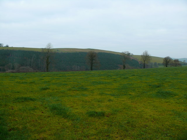
Image: © Ian Medcalf Taken: 24 Dec 2008
Golygfa dros gae uwchben Ystrad Aeron gyda Fforest conifferaidd yn y cefndir / View across a field above Ystrad Aeron with a coniferous forest in the distance
Images are licensed for reuse under creativecommons.org/licenses/by-sa/2.0
Image Location
Latitude
52.181624
Longitude
-4.175606