Inverkip Road
Introduction
The photograph on this page of Inverkip Road by Thomas Nugent as part of the Geograph project.
The Geograph project started in 2005 with the aim of publishing, organising and preserving representative images for every square kilometre of Great Britain, Ireland and the Isle of Man.

There are currently over 7.5m images from over 14,400 individuals and you can help contribute to the project by visiting https://www.geograph.org.uk
Inverkip Road
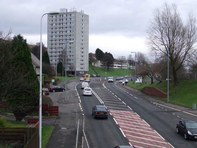
Image: © Thomas Nugent Taken: 23 Dec 2008
The A78 towards the centre of Greenock, viewed from the footbridge near Branchton Station. The high rise block is Ravenscraig Court.
Images are licensed for reuse under creativecommons.org/licenses/by-sa/2.0
Image Location
Latitude
55.94109
Longitude
-4.801502