Hunningham from Hilltop Farm
Introduction
The photograph on this page of Hunningham from Hilltop Farm by Andy F as part of the Geograph project.
The Geograph project started in 2005 with the aim of publishing, organising and preserving representative images for every square kilometre of Great Britain, Ireland and the Isle of Man.

There are currently over 7.5m images from over 14,400 individuals and you can help contribute to the project by visiting https://www.geograph.org.uk
Hunningham from Hilltop Farm
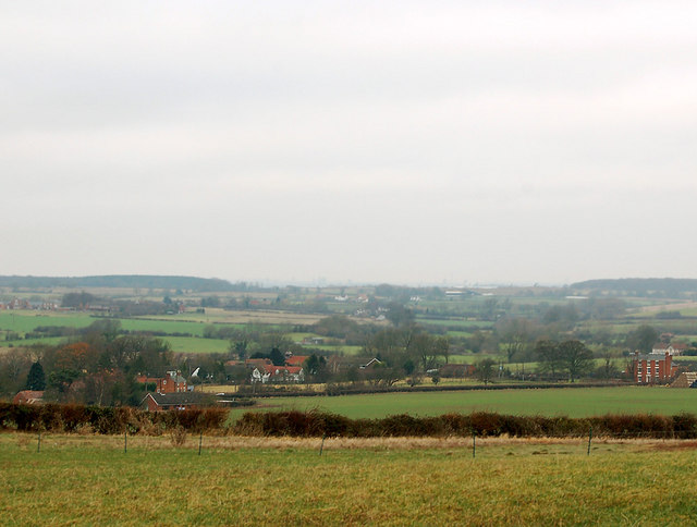
Image: © Andy F Taken: 23 Dec 2008
Looking down into the River Leam valley from Hilltop Farm. The village of Hunningham is in the middle distance; on the skyline, the woodland is north of Weston-under-Wetherly
Images are licensed for reuse under creativecommons.org/licenses/by-sa/2.0
Image Location


Leaflet Map data © OpenStreetMap
Latitude
52.309299
Longitude
-1.453446