St Peter's Walk, near Springfield, Wolverhampton
Introduction
The photograph on this page of St Peter's Walk, near Springfield, Wolverhampton by Roger D Kidd as part of the Geograph project.
The Geograph project started in 2005 with the aim of publishing, organising and preserving representative images for every square kilometre of Great Britain, Ireland and the Isle of Man.

There are currently over 7.5m images from over 14,400 individuals and you can help contribute to the project by visiting https://www.geograph.org.uk
St Peter's Walk, near Springfield, Wolverhampton
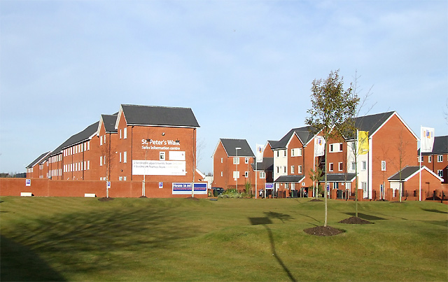
Image: © Roger D Kidd Taken: 17 Dec 2008
Off the Wednesfield Road (A4124) this extensive new Wimpey housing development is on the former brown field site left following demolition of the Chubb Works. I wonder how this year's credit crunch is affecting sales and lettings. The sign exclaims: Two bedroom apartments from £85,995 - Four bedroom homes from £144,995.
Images are licensed for reuse under creativecommons.org/licenses/by-sa/2.0
Image Location
Latitude
52.592256
Longitude
-2.111703