Footbridge over Marsh Stream
Introduction
The photograph on this page of Footbridge over Marsh Stream by David Anstiss as part of the Geograph project.
The Geograph project started in 2005 with the aim of publishing, organising and preserving representative images for every square kilometre of Great Britain, Ireland and the Isle of Man.

There are currently over 7.5m images from over 14,400 individuals and you can help contribute to the project by visiting https://www.geograph.org.uk
Footbridge over Marsh Stream
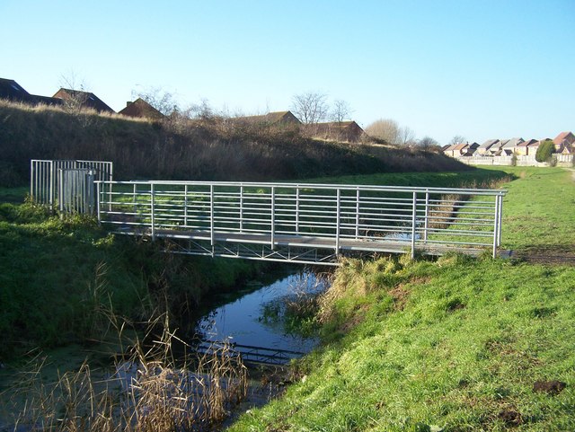
Image: © David Anstiss Taken: 17 Dec 2008
Footpath from Beauvoir Drive (unseen, other side of embankment) leads to playing field (just to right of photo) at end of Eadred Way. Stream and embankment footpath leads to Grovehurst Road, they are part of Church Marshes Country Park, which is open land on the Swale.
Images are licensed for reuse under creativecommons.org/licenses/by-sa/2.0
Image Location
Latitude
51.360487
Longitude
0.746504