South Loch Tay road, Auchmore
Introduction
The photograph on this page of South Loch Tay road, Auchmore by Richard Webb as part of the Geograph project.
The Geograph project started in 2005 with the aim of publishing, organising and preserving representative images for every square kilometre of Great Britain, Ireland and the Isle of Man.

There are currently over 7.5m images from over 14,400 individuals and you can help contribute to the project by visiting https://www.geograph.org.uk
South Loch Tay road, Auchmore
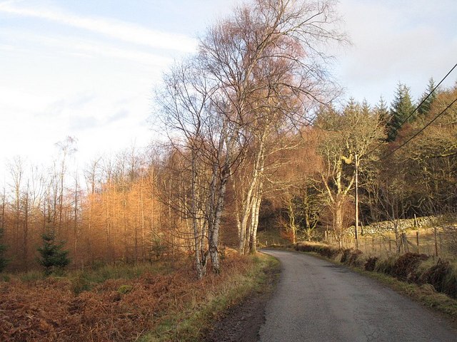
Image: © Richard Webb Taken: 20 Dec 2008
Passing a surviving field. Most of the land as far as the Allt Breacleach beyond Firbush is forested.
Images are licensed for reuse under creativecommons.org/licenses/by-sa/2.0
Image Location
Latitude
56.461451
Longitude
-4.297682