Mobile Phone Mast and playing field
Introduction
The photograph on this page of Mobile Phone Mast and playing field by David Anstiss as part of the Geograph project.
The Geograph project started in 2005 with the aim of publishing, organising and preserving representative images for every square kilometre of Great Britain, Ireland and the Isle of Man.

There are currently over 7.5m images from over 14,400 individuals and you can help contribute to the project by visiting https://www.geograph.org.uk
Mobile Phone Mast and playing field
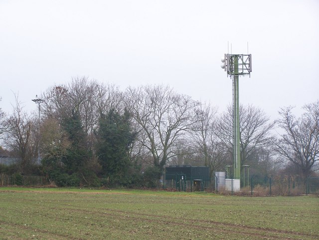
Image: © David Anstiss Taken: 14 Dec 2008
Mast at back of Southern Water works area on School Lane. Seen from public footpath on private road 'Land Way', from White House Farm.
Images are licensed for reuse under creativecommons.org/licenses/by-sa/2.0
Image Location


Leaflet Map data © OpenStreetMap
Latitude
51.422876
Longitude
0.464699