Raised terracing, Barrows Farm
Introduction
The photograph on this page of Raised terracing, Barrows Farm by Stuart Shepherd as part of the Geograph project.
The Geograph project started in 2005 with the aim of publishing, organising and preserving representative images for every square kilometre of Great Britain, Ireland and the Isle of Man.

There are currently over 7.5m images from over 14,400 individuals and you can help contribute to the project by visiting https://www.geograph.org.uk
Raised terracing, Barrows Farm
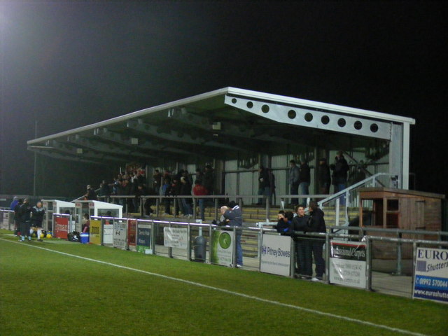
Image: © Stuart Shepherd Taken: 17 Dec 2008
Opposite the new grandstand at the home of Harlow Town FC
Images are licensed for reuse under creativecommons.org/licenses/by-sa/2.0
Image Location
Latitude
51.771012
Longitude
0.067909