Rocfort Road over A228
Introduction
The photograph on this page of Rocfort Road over A228 by David Anstiss as part of the Geograph project.
The Geograph project started in 2005 with the aim of publishing, organising and preserving representative images for every square kilometre of Great Britain, Ireland and the Isle of Man.

There are currently over 7.5m images from over 14,400 individuals and you can help contribute to the project by visiting https://www.geograph.org.uk
Rocfort Road over A228
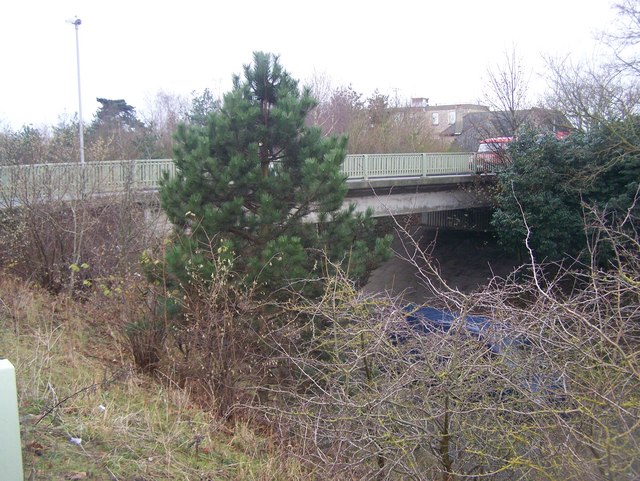
Image: © David Anstiss Taken: 12 Dec 2008
Rocfort Road leads from Snodland Station into the town. Underneath the A228 Snodland By-Pass heads right to Halling from the M20 junction 4.
Images are licensed for reuse under creativecommons.org/licenses/by-sa/2.0
Image Location
Latitude
51.329178
Longitude
0.446893