Fenced Footpath
Introduction
The photograph on this page of Fenced Footpath by David Anstiss as part of the Geograph project.
The Geograph project started in 2005 with the aim of publishing, organising and preserving representative images for every square kilometre of Great Britain, Ireland and the Isle of Man.

There are currently over 7.5m images from over 14,400 individuals and you can help contribute to the project by visiting https://www.geograph.org.uk
Fenced Footpath
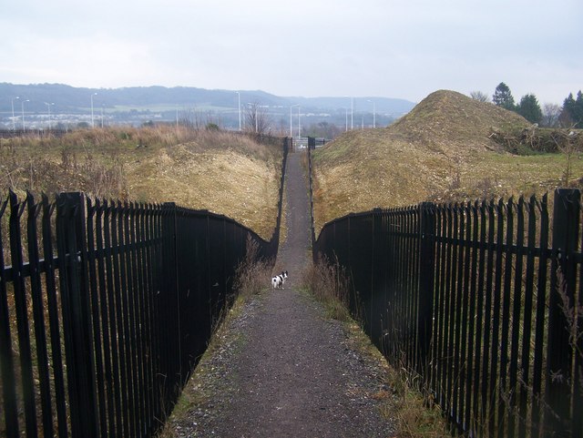
Image: © David Anstiss Taken: 12 Dec 2008
From Meadow Crescent, Upper Halling to A228 Halling By-Pass. Fences stop vandals or children getting into the quarries either side of the footpath. Quarries belong to Lafarge, but not sure if they are still used. Roundabout street lighting on A228 seen in background.
Images are licensed for reuse under creativecommons.org/licenses/by-sa/2.0
Image Location
Latitude
51.342477
Longitude
0.44315