The end of North Dane Way
Introduction
The photograph on this page of The end of North Dane Way by Chris Whippet as part of the Geograph project.
The Geograph project started in 2005 with the aim of publishing, organising and preserving representative images for every square kilometre of Great Britain, Ireland and the Isle of Man.

There are currently over 7.5m images from over 14,400 individuals and you can help contribute to the project by visiting https://www.geograph.org.uk
The end of North Dane Way
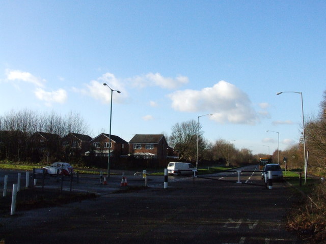
Image: © Chris Whippet Taken: 17 Dec 2008
Laid out in the early 1970s, North Dane Way was eventually to have stretched from Capstone Road to Sharsted Way and Walderslade Woods Road, forming the Medway Towns southern ring road. Since the formation of Medway District Council, the MTSRR seems unlikely to be built, seeing as the proposed route falls mainly within the territory of Kent County Council.
Images are licensed for reuse under creativecommons.org/licenses/by-sa/2.0
Image Location
Latitude
51.338684
Longitude
0.549345