Kingsdown Farm, Hempstead
Introduction
The photograph on this page of Kingsdown Farm, Hempstead by Chris Whippet as part of the Geograph project.
The Geograph project started in 2005 with the aim of publishing, organising and preserving representative images for every square kilometre of Great Britain, Ireland and the Isle of Man.

There are currently over 7.5m images from over 14,400 individuals and you can help contribute to the project by visiting https://www.geograph.org.uk
Kingsdown Farm, Hempstead
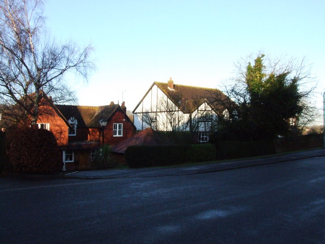
Image: © Chris Whippet Taken: 17 Dec 2008
One of the older houses in Hempstead, Kingsdown Farm (left) gives its name to the street Kingsdown Close, the southern part of which was formerly part of Spekes Road. To the right is one of several houses surrounding the farmhouse built in the 1980s.
Images are licensed for reuse under creativecommons.org/licenses/by-sa/2.0
Image Location
Latitude
51.343409
Longitude
0.575886