St Luke's Hall, South Park
Introduction
The photograph on this page of St Luke's Hall, South Park by Ian Capper as part of the Geograph project.
The Geograph project started in 2005 with the aim of publishing, organising and preserving representative images for every square kilometre of Great Britain, Ireland and the Isle of Man.

There are currently over 7.5m images from over 14,400 individuals and you can help contribute to the project by visiting https://www.geograph.org.uk
St Luke's Hall, South Park
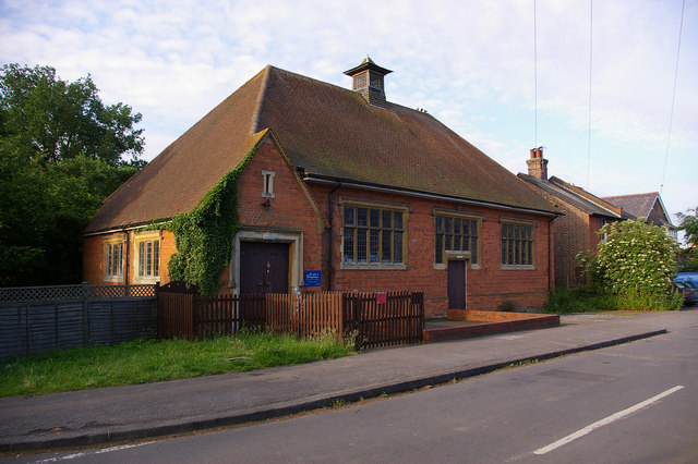
Image: © Ian Capper Taken: 10 Jun 2008
Opened in 1908 as the church hall for St Luke's Church (see Image]). Now used by a Montessori nursery school. For a closeup of the foundation stone, see Image
Images are licensed for reuse under creativecommons.org/licenses/by-sa/2.0
Image Location
Latitude
51.225414
Longitude
-0.213492