Church centre, Up Hatherley
Introduction
The photograph on this page of Church centre, Up Hatherley by Pauline E as part of the Geograph project.
The Geograph project started in 2005 with the aim of publishing, organising and preserving representative images for every square kilometre of Great Britain, Ireland and the Isle of Man.

There are currently over 7.5m images from over 14,400 individuals and you can help contribute to the project by visiting https://www.geograph.org.uk
Church centre, Up Hatherley
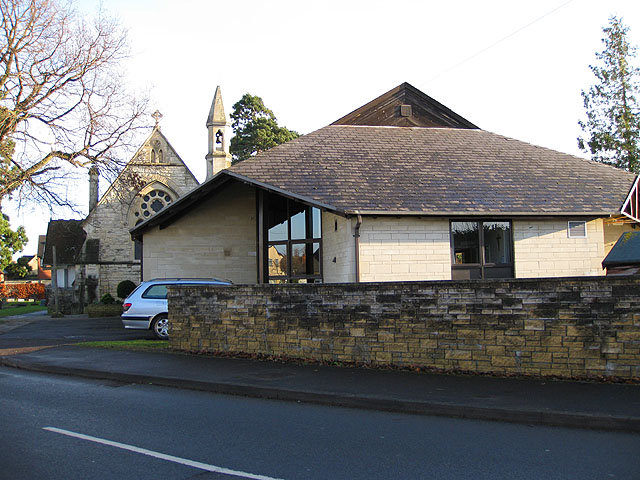
Image: © Pauline E Taken: 17 Dec 2008
Attached to the Parish Church of St Philip and St James in Cold Pool Lane/Hatherley Road.
Images are licensed for reuse under creativecommons.org/licenses/by-sa/2.0
Image Location
Latitude
51.885156
Longitude
-2.121996