Descending to Tang Beck
Introduction
The photograph on this page of Descending to Tang Beck by Chris Heaton as part of the Geograph project.
The Geograph project started in 2005 with the aim of publishing, organising and preserving representative images for every square kilometre of Great Britain, Ireland and the Isle of Man.

There are currently over 7.5m images from over 14,400 individuals and you can help contribute to the project by visiting https://www.geograph.org.uk
Descending to Tang Beck
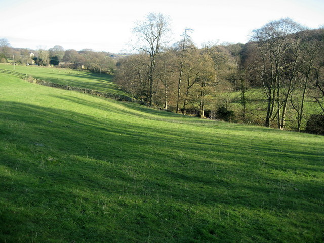
Image: © Chris Heaton Taken: 10 Dec 2008
Following a footpath from Birstwith Hall towards Hampsthwaite. At this point it descends to follow Tang Beck beside Gormires Wood.
Images are licensed for reuse under creativecommons.org/licenses/by-sa/2.0
Image Location
Latitude
54.022472
Longitude
-1.630131