The Rivelin, Tofts Lane, Rivelin Valley, Sheffield
Introduction
The photograph on this page of The Rivelin, Tofts Lane, Rivelin Valley, Sheffield by Terry Robinson as part of the Geograph project.
The Geograph project started in 2005 with the aim of publishing, organising and preserving representative images for every square kilometre of Great Britain, Ireland and the Isle of Man.

There are currently over 7.5m images from over 14,400 individuals and you can help contribute to the project by visiting https://www.geograph.org.uk
The Rivelin, Tofts Lane, Rivelin Valley, Sheffield
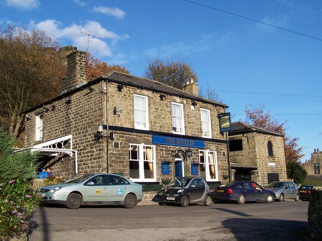
Image: © Terry Robinson Taken: 16 Nov 2008
At the top of a very steep road off Rivelin Valley Road ... or more easily accessible from Stannington via Roscoe Bank. Great views across the valley towards the Bell Hagg Inn. Image Image
Images are licensed for reuse under creativecommons.org/licenses/by-sa/2.0
Image Location
Latitude
53.385433
Longitude
-1.538697