Queniborough Church
Introduction
The photograph on this page of Queniborough Church by Stephen McKay as part of the Geograph project.
The Geograph project started in 2005 with the aim of publishing, organising and preserving representative images for every square kilometre of Great Britain, Ireland and the Isle of Man.

There are currently over 7.5m images from over 14,400 individuals and you can help contribute to the project by visiting https://www.geograph.org.uk
Queniborough Church
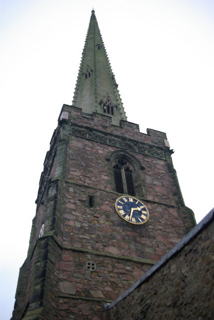
Image: © Stephen McKay Taken: 14 Dec 2008
Parts of St Mary's church date back to pre-Norman conquest times, although the tower is 14th century. The spire is said to be the second tallest in the East Midlands.
Images are licensed for reuse under creativecommons.org/licenses/by-sa/2.0
Image Location
Latitude
52.702581
Longitude
-1.038461