Under the A45 on a wet day
Introduction
The photograph on this page of Under the A45 on a wet day by E Gammie as part of the Geograph project.
The Geograph project started in 2005 with the aim of publishing, organising and preserving representative images for every square kilometre of Great Britain, Ireland and the Isle of Man.

There are currently over 7.5m images from over 14,400 individuals and you can help contribute to the project by visiting https://www.geograph.org.uk
Under the A45 on a wet day
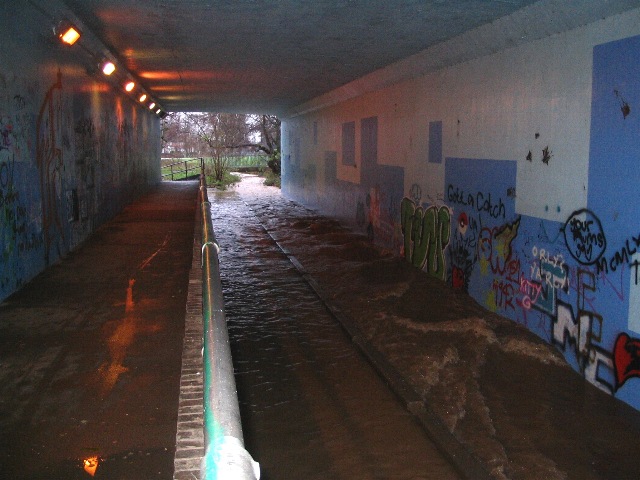
Image: © E Gammie Taken: 13 Dec 2008
After heavy overnight and morning rain, the stream is overflowing the cycle way, but the raised footway is still clear.
Images are licensed for reuse under creativecommons.org/licenses/by-sa/2.0
Image Location
Latitude
52.411249
Longitude
-1.561712