Muirkirk Covenanters Trail
Introduction
The photograph on this page of Muirkirk Covenanters Trail by Mary and Angus Hogg as part of the Geograph project.
The Geograph project started in 2005 with the aim of publishing, organising and preserving representative images for every square kilometre of Great Britain, Ireland and the Isle of Man.

There are currently over 7.5m images from over 14,400 individuals and you can help contribute to the project by visiting https://www.geograph.org.uk
Muirkirk Covenanters Trail
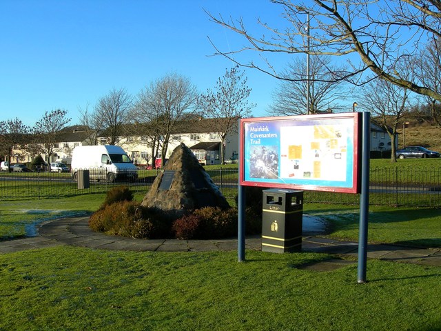
Image: © Mary and Angus Hogg Taken: 10 Dec 2008
The information board beside the monument at the Smallburn end of Muirkirk.
Images are licensed for reuse under creativecommons.org/licenses/by-sa/2.0
Image Location
Latitude
55.514586
Longitude
-4.084093