Bournemouth, Littledown Common
Introduction
The photograph on this page of Bournemouth, Littledown Common by Mike Faherty as part of the Geograph project.
The Geograph project started in 2005 with the aim of publishing, organising and preserving representative images for every square kilometre of Great Britain, Ireland and the Isle of Man.

There are currently over 7.5m images from over 14,400 individuals and you can help contribute to the project by visiting https://www.geograph.org.uk
Bournemouth, Littledown Common
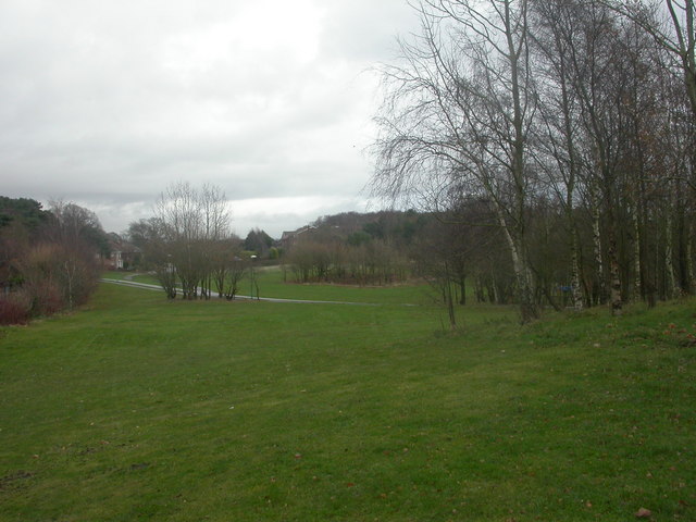
Image: © Mike Faherty Taken: 12 Dec 2008
The western side of Littledown Common is a public open space, with short grass & clumps of trees; to the east Image, the common has been left natural. Used by pedestrians, joggers, cyclists & children to and from the local schools. http://www.bournemouth.gov.uk/Library/PDF/Landscape/DRAFT%20WOODLAND%20STRATEGY%2006-2006.pdf
Images are licensed for reuse under creativecommons.org/licenses/by-sa/2.0
Image Location
Latitude
50.739854
Longitude
-1.831192