Upper Brighton Road
Introduction
The photograph on this page of Upper Brighton Road by Colin Smith as part of the Geograph project.
The Geograph project started in 2005 with the aim of publishing, organising and preserving representative images for every square kilometre of Great Britain, Ireland and the Isle of Man.

There are currently over 7.5m images from over 14,400 individuals and you can help contribute to the project by visiting https://www.geograph.org.uk
Upper Brighton Road
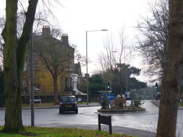
Image: © Colin Smith Taken: 12 Dec 2008
Roundabout in the middle of a hilltop road junction between Hook and Surbiton. The large detached house is typical of the area, subdivided into flats.
Images are licensed for reuse under creativecommons.org/licenses/by-sa/2.0
Image Location
Latitude
51.386474
Longitude
-0.300587