Friary Hill Dorchester
Introduction
The photograph on this page of Friary Hill Dorchester by Sarah Smith as part of the Geograph project.
The Geograph project started in 2005 with the aim of publishing, organising and preserving representative images for every square kilometre of Great Britain, Ireland and the Isle of Man.

There are currently over 7.5m images from over 14,400 individuals and you can help contribute to the project by visiting https://www.geograph.org.uk
Friary Hill Dorchester
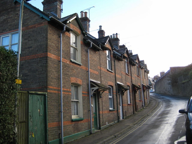
Image: © Sarah Smith Taken: 11 Dec 2008
Looking up Friary Hill towards North Square. The church tower of St Peter is just visible over the stone wall on the right.
Images are licensed for reuse under creativecommons.org/licenses/by-sa/2.0
Image Location
Latitude
50.717001
Longitude
-2.436224