River Tweed - Floods of January 2005
Introduction
The photograph on this page of River Tweed - Floods of January 2005 by Hill Walker as part of the Geograph project.
The Geograph project started in 2005 with the aim of publishing, organising and preserving representative images for every square kilometre of Great Britain, Ireland and the Isle of Man.

There are currently over 7.5m images from over 14,400 individuals and you can help contribute to the project by visiting https://www.geograph.org.uk
River Tweed - Floods of January 2005
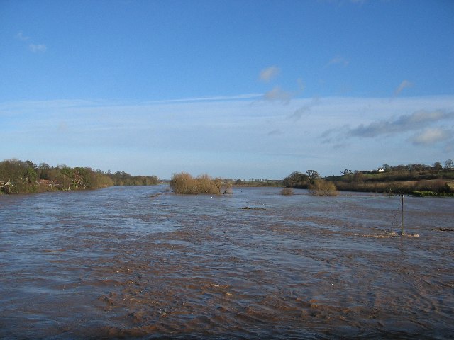
Image: © Hill Walker Taken: 8 Jan 2005
Looking downstream from the new bridge, This was the biggest river since 1948.
Images are licensed for reuse under creativecommons.org/licenses/by-sa/2.0
Image Location
Latitude
55.603386
Longitude
-2.422151