2008 : Nunney Road, Frome
Introduction
The photograph on this page of 2008 : Nunney Road, Frome by Maurice Pullin as part of the Geograph project.
The Geograph project started in 2005 with the aim of publishing, organising and preserving representative images for every square kilometre of Great Britain, Ireland and the Isle of Man.

There are currently over 7.5m images from over 14,400 individuals and you can help contribute to the project by visiting https://www.geograph.org.uk
2008 : Nunney Road, Frome
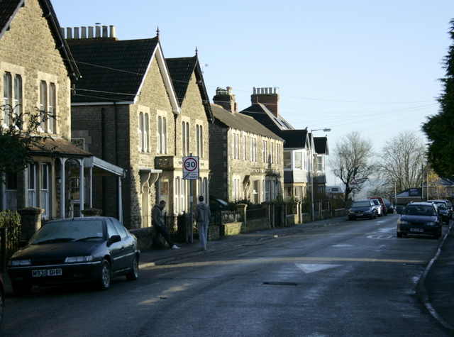
Image: © Maurice Pullin Taken: 9 Dec 2008
The speed limit sign indicates the end of a 20mph zone. If we were really interested in road safety there would be more. Houses late Victorian/Edwardian?
Images are licensed for reuse under creativecommons.org/licenses/by-sa/2.0
Image Location
Latitude
51.229719
Longitude
-2.334503