Blocked Footpath
Introduction
The photograph on this page of Blocked Footpath by David Anstiss as part of the Geograph project.
The Geograph project started in 2005 with the aim of publishing, organising and preserving representative images for every square kilometre of Great Britain, Ireland and the Isle of Man.

There are currently over 7.5m images from over 14,400 individuals and you can help contribute to the project by visiting https://www.geograph.org.uk
Blocked Footpath
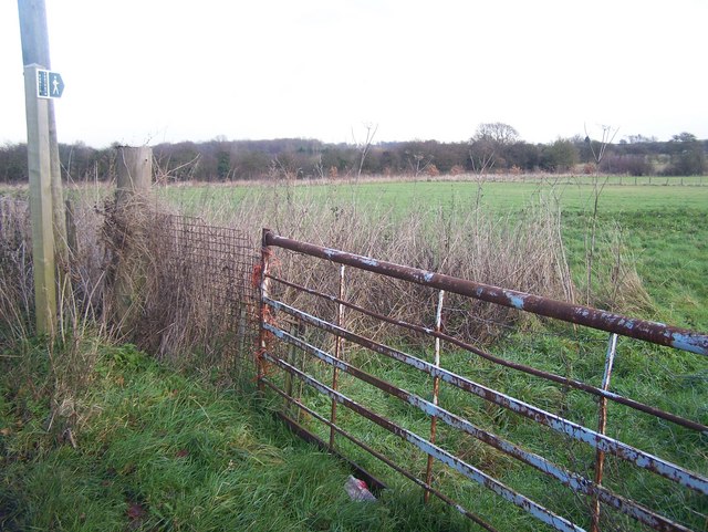
Image: © David Anstiss Taken: 5 Dec 2008
On Binbury Lane, should lead to South Street Road. Opposite Beaux Aires Farm cottage, which had several big and noisy barking dogs. Possible reason for blocking the footpath and barded wire on the gate, so not possible to climb over..
Images are licensed for reuse under creativecommons.org/licenses/by-sa/2.0
Image Location
Latitude
51.317118
Longitude
0.613737