Green Chain Walk, Bostall Heath
Introduction
The photograph on this page of Green Chain Walk, Bostall Heath by Stephen Craven as part of the Geograph project.
The Geograph project started in 2005 with the aim of publishing, organising and preserving representative images for every square kilometre of Great Britain, Ireland and the Isle of Man.

There are currently over 7.5m images from over 14,400 individuals and you can help contribute to the project by visiting https://www.geograph.org.uk
Green Chain Walk, Bostall Heath
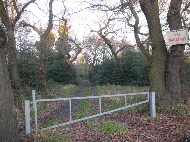
Image: © Stephen Craven Taken: 7 Dec 2008
The gate is adjacent to the main A206 road, preventing vehicular access down the woodland track. The track itself is not a public right of way but forms part of the Green Chain Walk (signed long distance path) - http://www.greenchain.com/
Images are licensed for reuse under creativecommons.org/licenses/by-sa/2.0
Image Location
Latitude
51.481688
Longitude
0.120037