River Adur
Introduction
The photograph on this page of River Adur by Simon Carey as part of the Geograph project.
The Geograph project started in 2005 with the aim of publishing, organising and preserving representative images for every square kilometre of Great Britain, Ireland and the Isle of Man.

There are currently over 7.5m images from over 14,400 individuals and you can help contribute to the project by visiting https://www.geograph.org.uk
River Adur
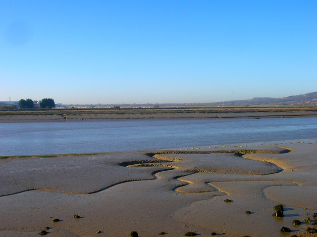
Image: © Simon Carey Taken: 7 Dec 2008
Looking across to the eastern bank with Shoreham Airport just visible behind the river defences.
Images are licensed for reuse under creativecommons.org/licenses/by-sa/2.0
Image Location
Latitude
50.835601
Longitude
-0.284317