Level Crossing on Lower Road, Teynham
Introduction
The photograph on this page of Level Crossing on Lower Road, Teynham by David Anstiss as part of the Geograph project.
The Geograph project started in 2005 with the aim of publishing, organising and preserving representative images for every square kilometre of Great Britain, Ireland and the Isle of Man.

There are currently over 7.5m images from over 14,400 individuals and you can help contribute to the project by visiting https://www.geograph.org.uk
Level Crossing on Lower Road, Teynham
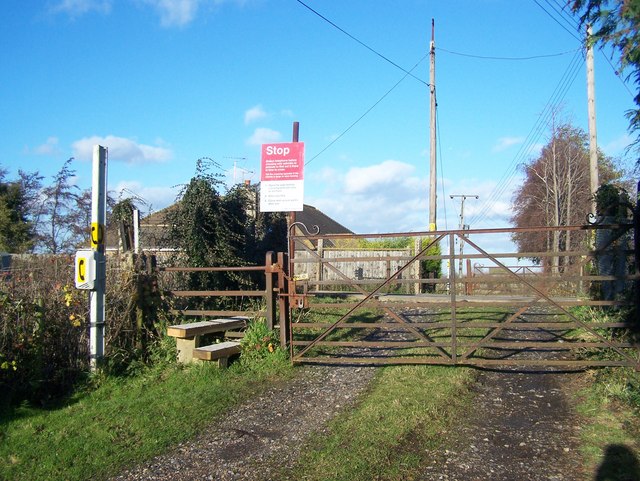
Image: © David Anstiss Taken: 4 Dec 2008
Leads to Farm Cottage on other side. Railway heads right to Faversham, and left to London/Medway.
Images are licensed for reuse under creativecommons.org/licenses/by-sa/2.0
Image Location
Latitude
51.336083
Longitude
0.797166