Bygones Village, Fleggburgh
Introduction
The photograph on this page of Bygones Village, Fleggburgh by Chris Allen as part of the Geograph project.
The Geograph project started in 2005 with the aim of publishing, organising and preserving representative images for every square kilometre of Great Britain, Ireland and the Isle of Man.

There are currently over 7.5m images from over 14,400 individuals and you can help contribute to the project by visiting https://www.geograph.org.uk
Bygones Village, Fleggburgh
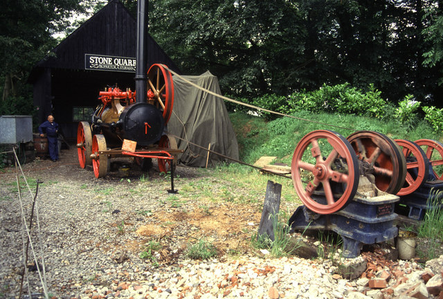
Image: © Chris Allen Taken: 18 Jun 1993
The quarry exhibit. This was a nice little set-up but has now closed and been sold off. A great shame. The location is approximate as the satellite image shows that much has gone or is no longer recognisable. It was 15 years between taking and submitting after all.
Images are licensed for reuse under creativecommons.org/licenses/by-sa/2.0
Image Location
Latitude
52.668789
Longitude
1.623464