Gores Marsh Park
Introduction
The photograph on this page of Gores Marsh Park by MD as part of the Geograph project.
The Geograph project started in 2005 with the aim of publishing, organising and preserving representative images for every square kilometre of Great Britain, Ireland and the Isle of Man.

There are currently over 7.5m images from over 14,400 individuals and you can help contribute to the project by visiting https://www.geograph.org.uk
Gores Marsh Park
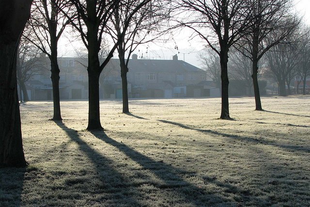
Image: © MD Taken: 7 Dec 2008
Currently a rather dull space with some trees and a play area, however looks like there are plans for improvements (quoted from link below): "The Gores Marshalls formed in January 2008 to protect and improve this neglected green space. Local people have drawn up a plan including circular footpaths, signs, benches, new planting and an enclosed play and sports area. The whole will cost around £250K, but stage one is to build a path rather than just have uneven and muddy grass. A small grant from the Better Bedminster Community Chest is a contribution towards this first step. Some other funding has already been secured and the Gores Marshalls are after more." http://www.greaterbedminster.org.uk/news.php
Images are licensed for reuse under creativecommons.org/licenses/by-sa/2.0
Image Location
Latitude
51.435466
Longitude
-2.618257