Bend in the lane, Parkfield
Introduction
The photograph on this page of Bend in the lane, Parkfield by Derek Harper as part of the Geograph project.
The Geograph project started in 2005 with the aim of publishing, organising and preserving representative images for every square kilometre of Great Britain, Ireland and the Isle of Man.

There are currently over 7.5m images from over 14,400 individuals and you can help contribute to the project by visiting https://www.geograph.org.uk
Bend in the lane, Parkfield
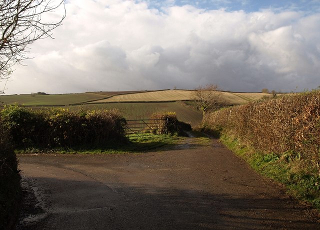
Image: © Derek Harper Taken: 4 Dec 2008
Ugly weather approaching from the direction of Dartmoor. The green lane ahead quickly divides between Staverton Bridleway 18 and Staverton Byway 31. The main lane is heading from Image to Higher Penn.
Images are licensed for reuse under creativecommons.org/licenses/by-sa/2.0
Image Location
Latitude
50.500386
Longitude
-3.747115